Product Overview
- No Lamination Required.
- Printed on Premium Thick Plastic and Cut.
- This material is ready to start using. No other prep work is needed.
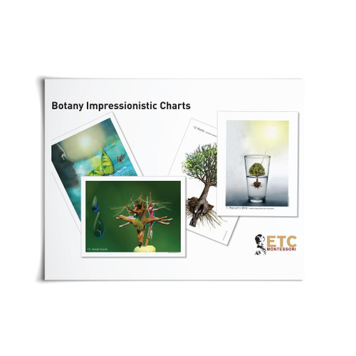
This package includes all the impressionistic charts for chapters 4-6. These are large charts measuring 11" x 17" and printed on special Gloss Cover Stock.
If you want to make an impression, then using these charts will enable you to get the idea across. This item does not include the teachers' notes or the experiments. If you require supplementary teaching materials, please consider the item Impressionistic Charts Level 9-12 (ELC-5084).
Set contains 30 charts.
- Chart 29: The Formation of Winds
- Chart 30: Low and High Pressure: The Formation of Winds
- Chart 31: Regular Winds: Areas of High and Low Pressure
- Chart 32: Local Winds: Sea Breeze
- Chart 33: Local Winds: Land Breeze
- Chart 34-35: Winds and the Distribution of Precipitation in the Northern Hemisphere During the Summer and Winter inthe Southern Hemisphere
- Chart 36: Winds and the Distribution of Precipitation in the Northern Hemisphere During the Winter and Summer in the Southern Hemisphere
- Chart 37: Winds and the Distribution of Precipitation: Work Chart
- Chart 38: Marine Currents: Cold and Warm Marine Currents
- Chart 39: Marine Currents: Nomenclature
- Chart 40: Erosive Powers of the Wind
- Chart 41: How the Rains Form: Desert
- Chart 42: Rain at the Sea: Local Rain
- Chart 43: Warm Air Rises: Evaporation
- Chart 44: Vapor Condenses: Condensation
- Chart 45: The Most Important Rivers
- Chart 46: The Rivers of North America
- Chart 47: The Earth as a Sponge: The Main Rivers of Europe
- Chart 48: The Main Rivers of North and South America
- Chart 49: The Erosive Work of Water
- Chart 50: The Alluvial Valley
- Chart 51: The Canyon
- Chart 52: The Earth's Pillar: Erosion
- Chart 53: Frost: Like a Young Boy
- Chart 54: The Thaw
- Chart 55: Valley Excavated by a Glacier: Glacial Valley
- Chart 56: Glacier and the Environment: Moraines
- Chart 57: Hanging Valley: After a Glacier Disappears
- Chart 58: The Cycle of Water
- Chart 59: Games of Water
- Chart 60: Water and Plants: Types of Vegetation
STANDARDS
View the standards that are met through this material.


